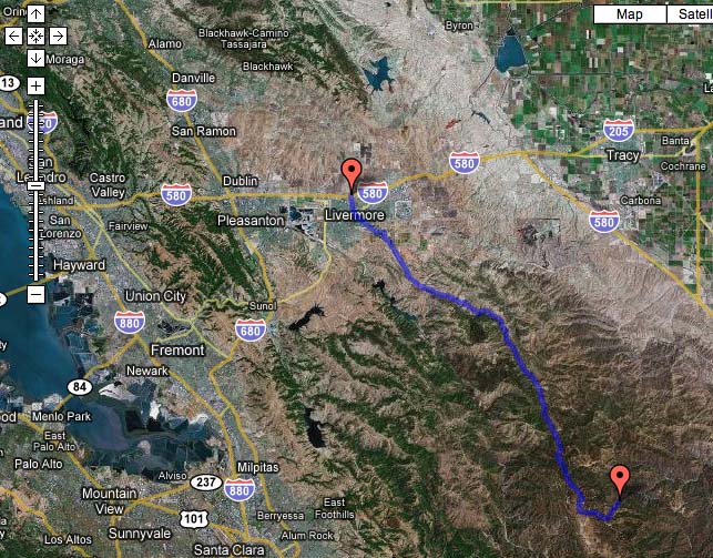
Drive along Mines Rd., Livermore, CA, April 5, 2008
Getting there:
This is an easy car drive, or a strenuous bike ride. Take Livermore Avenue, through town to S. Livermore Avenue, which turns into Tesla Rd with a left turn (as you are driving south). The next light is Mines Rd., signs point to Del Valle recreational area. Keep you eye out for the left turn before going up the hill to the reservoir. Mines Rd. ascends into the hills farther down the road. Large mile numbers are painted in the road (and are part of the references below). These markers change at the Alameda/Santa Clara county boundaries. Elevation changes from 470' to 2900'.
Along the way to Mt. Hamilton you will see the turn off to Del Puerto Canyon
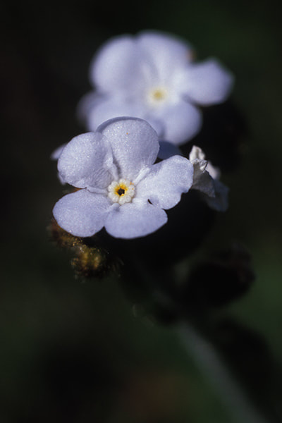
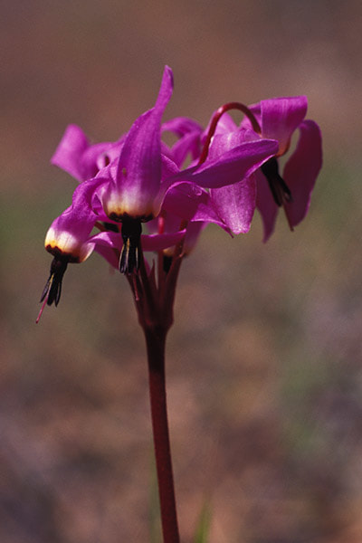
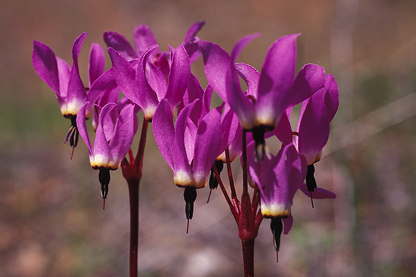
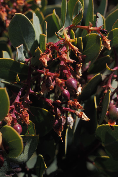
Mile Marker 14.56


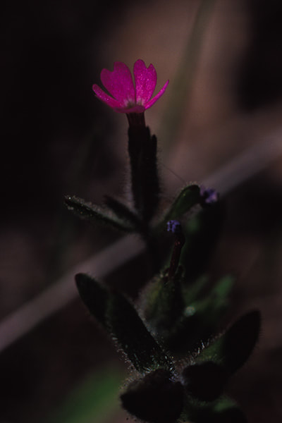
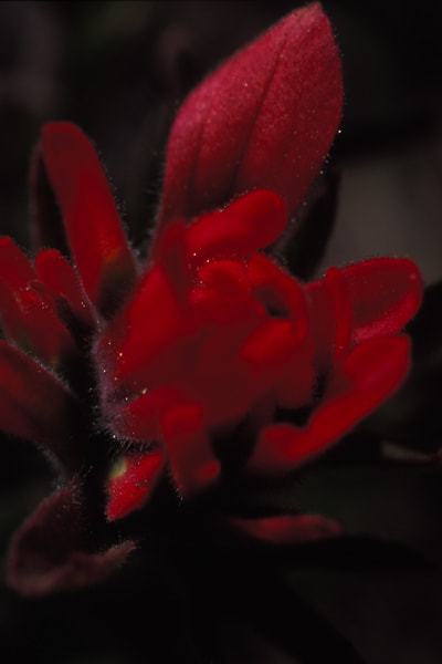
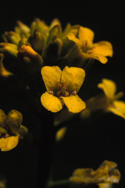
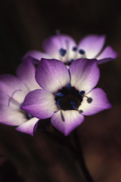
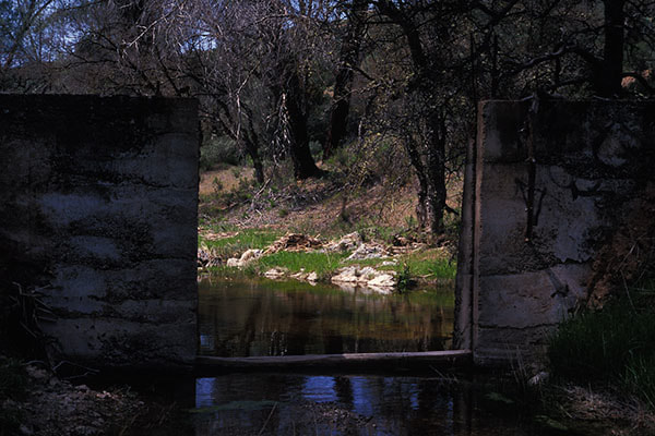
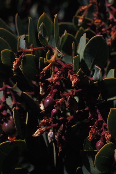
Mile Marker 17.12

Between Mile 24 and 25 Santa Clara Co.
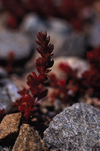
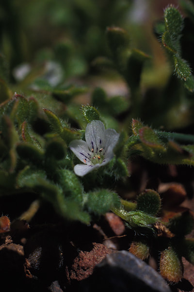

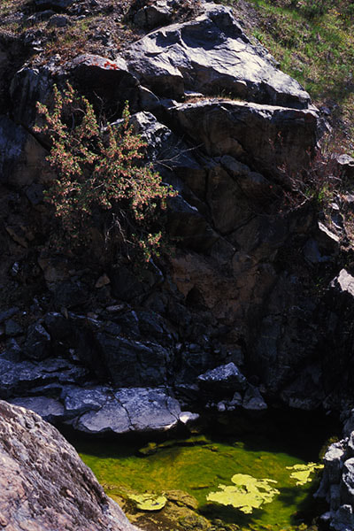
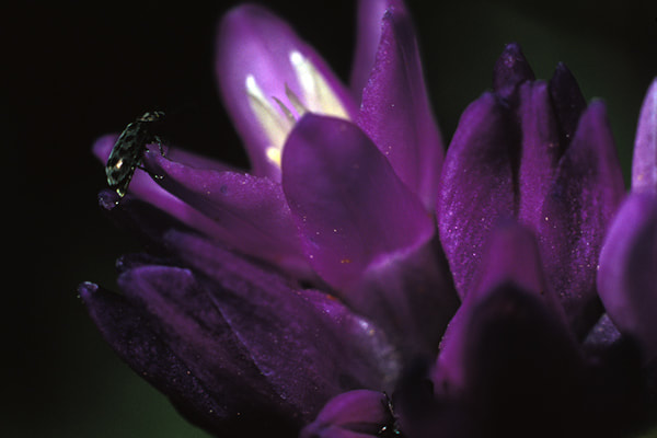
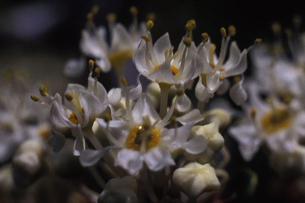
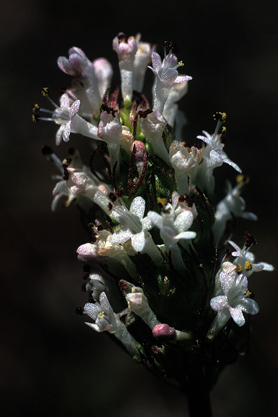
Del Puerto Canyon Rd. around Mile 23

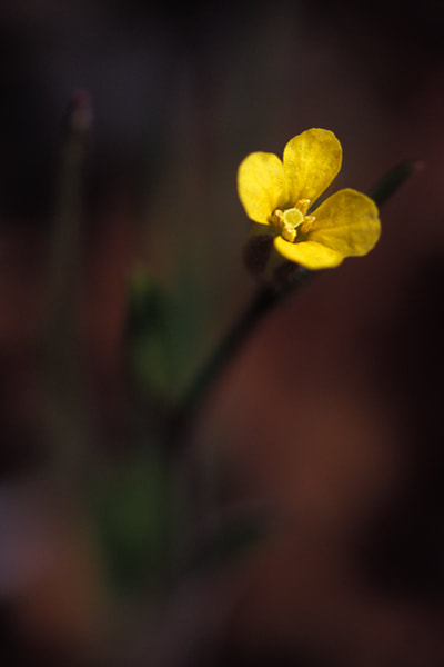
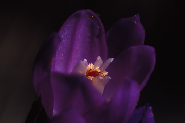
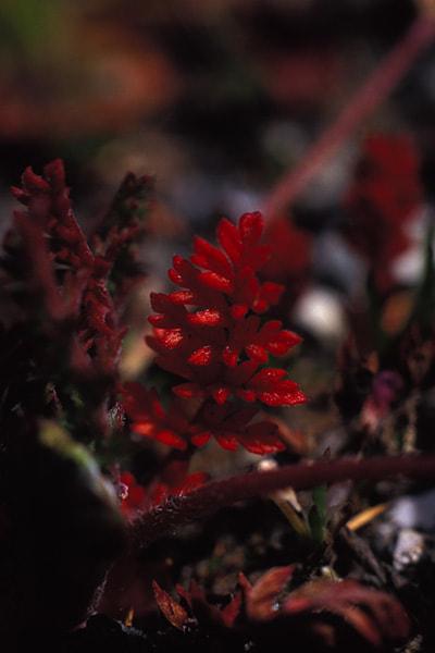
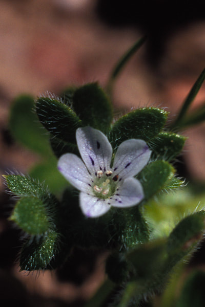
Del Puerto Canyon Rd. around Mile 22
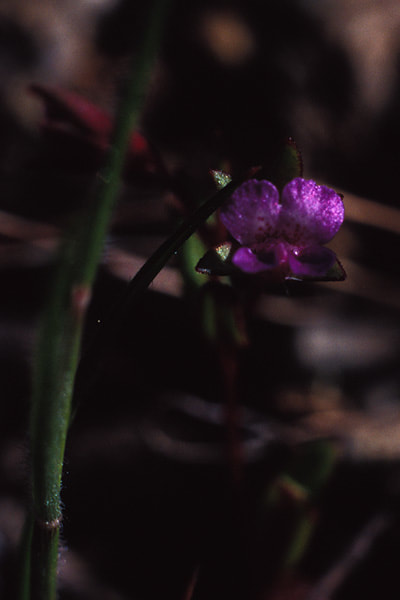
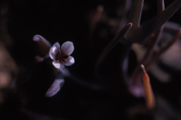
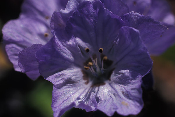
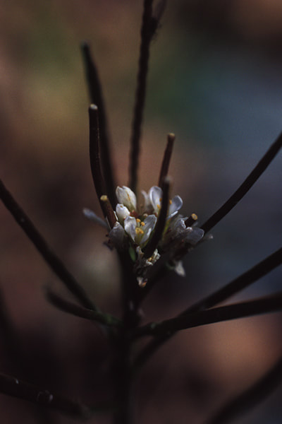
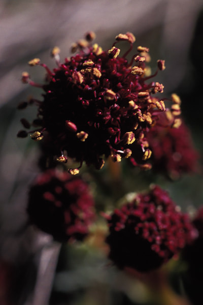
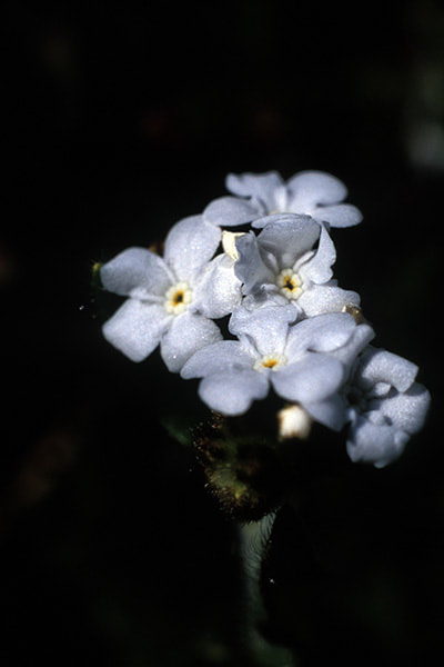
unknown location on Mines Rd.